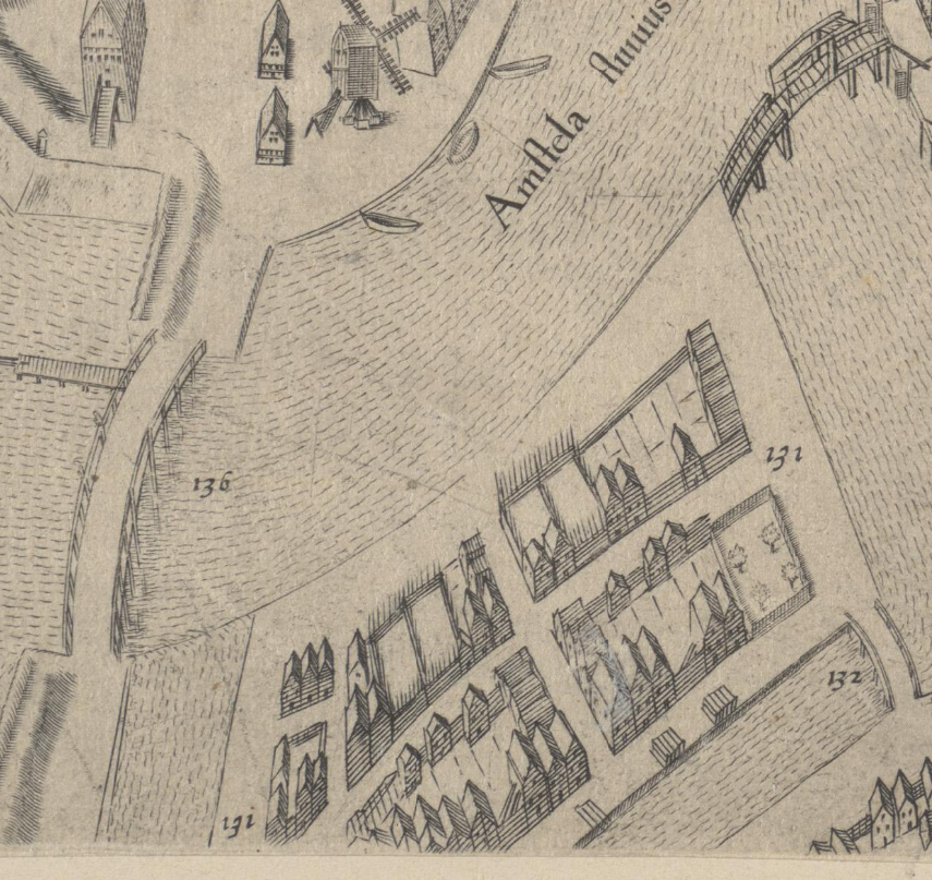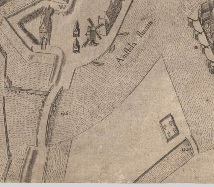
Vlooienburg was developed on an island. It had been created in the last decade of the 16th century by raising the ground on a marshy bend in the Amstel river. Canals were then dug around it. Archaeological and historic cartographic evidence shows the area was not completely empty before Vlooienburg was planned here (Gawronski et al 2016). It was sparsely occupied and used for industrial purposes as the excavation of a 15th century horse mill shows. These people and activities had to be relocated, and all structures demolished before the ground works for the foundation of a new city district could start. When after a few years the raised ground had settled, construction could start. Private individuals could buy these plots from the city council.
The progress is shown well by the different editions of the maps of Amsterdam by Pieter Bast. In the second edition, published in 1597, Vlooienburg is depicted as a completely empty area (the map was shown in the 3D view in a previous step). In 1599, the year of the map's third edition, it had just one small orchard (image above). In the 5th edition, published posthumusly (Bast died in 1605) by Claes Jansz Visscher, a number of houses have already been constructed, although many open plots still exist (image below). On the map of Amsterdam's next main cartographer, Balthasar Florisz. van Berckenrode, the island is nearly completely built up.