This year was chosen because of the significant infrastructural and architectural modifications that had taken place since about 1625. New large buildings such as the Portuguese synagogue (not represented here) and the Diaconie orphanage were added to the area. The timber yards were replaced by housing or neat brick quays. Also by this time, many houses had been renovated and updated to the new architectural style of the period, Dutch classicism (ca. 1625-1665).
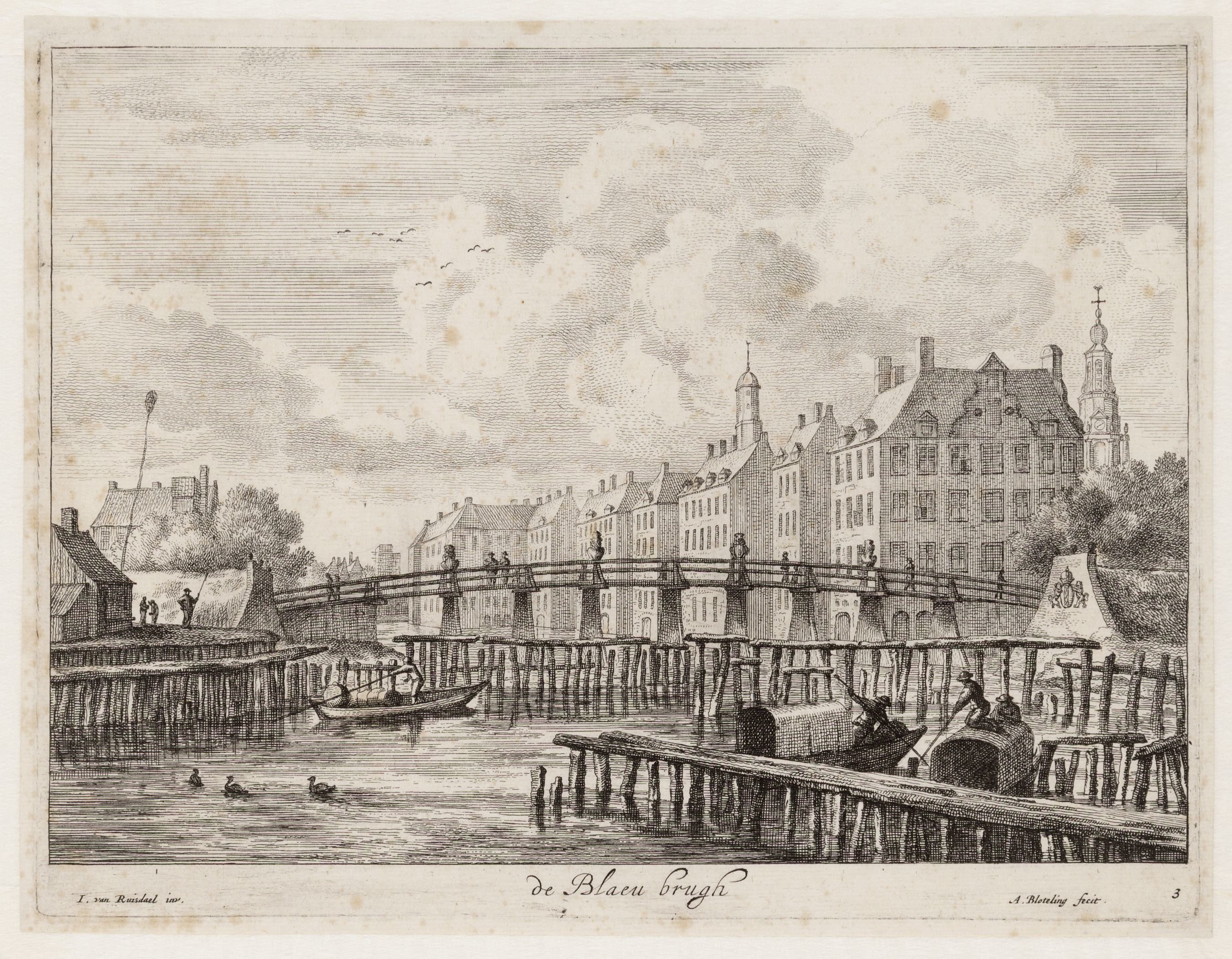
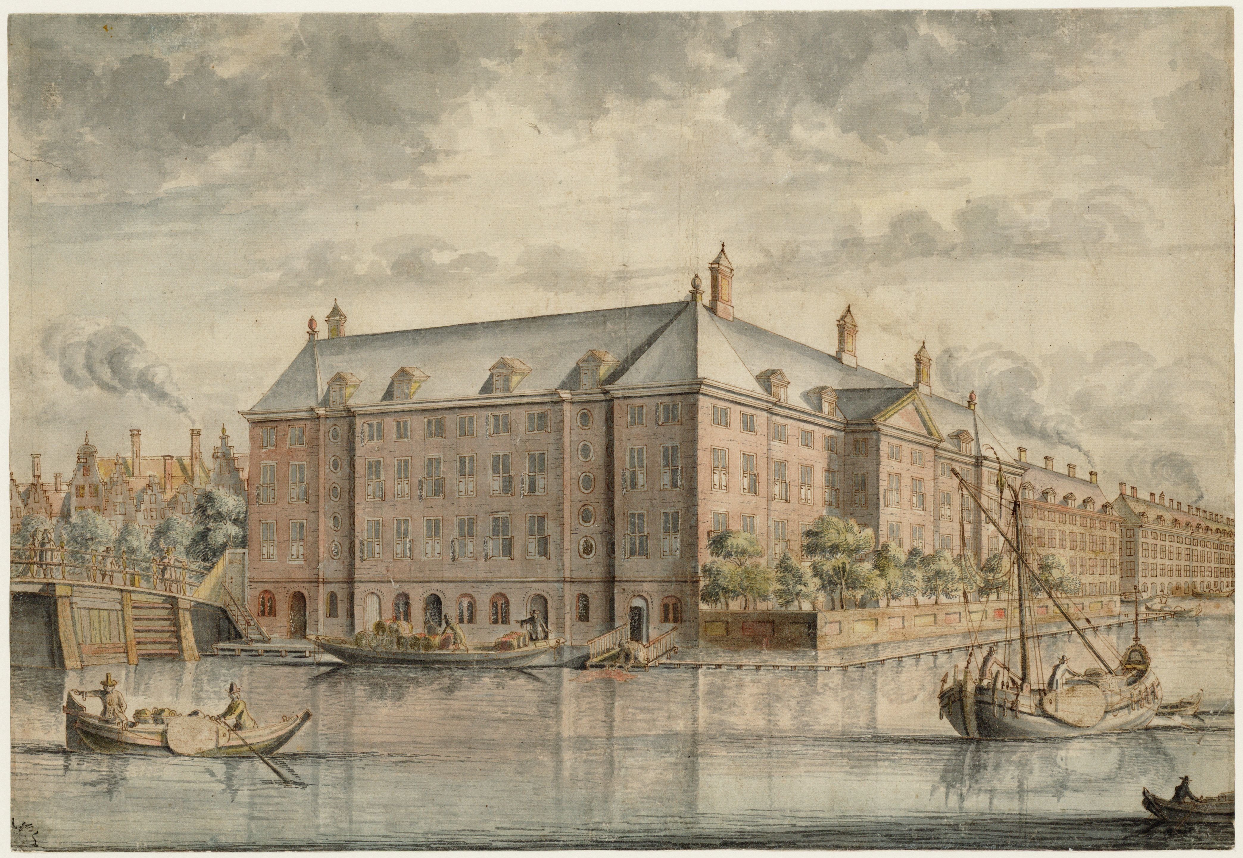
For the topogaphical changes in the later half of the 17th century we may turn to the late 17th century maps of Daniel Stalpaert (1665) and Daniel de Wit (1688). They show us the new row of houses facing the Amstel and the Diaconie orphanage. These maps are however not nearly as detailed as the earlier maps by Pieter Bast and Balthasar Florisz. van Berckenrode, and are therefore of limited use for this reconstruction. The shape and dimensions of the new buildings is better depicted on a small number of historical images, of which two are shown below. Such images are the most important source for the late 17th century phase reconstructions. Comparing such images in detail sometimes reveals significant differences, showing that not all of these are equally reliable in representing the architecture of this period. In the reconstruction, the reliability of the sources is assessed by cross referencing features in different sources. If certain features occur independently on multiple sources, that element is more likely to have existed as depicted.