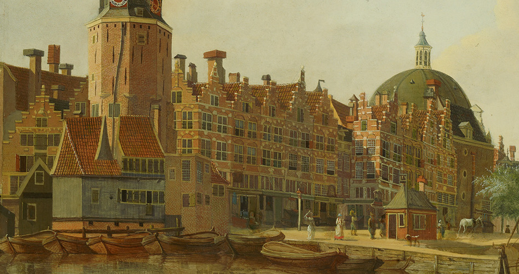
The year 1625 was chosen as around this time the island was fully build up. It is the end of a transformation that lasted 30 years, from a newly created island to residential and economic area. Secondly, this is the publication date of the primary source for this phase: the map of Amsterdam by Balthasar Cornelisz. van Berckenrode (currently displayed in the 3D viewer).
The most challenging aspect of using this map as a source is its spatial accuracy. Although the map is accurate for its time, its oblique projection and small omissions or mistakes are the cause of many issues for the reconstruction. One important aspect is the correspondence of houses with known house plots. It is clear that van Berckenrode sometimes skips a house which causes a problem for plotting these houses on more recent kadastral maps. Another issue is that although the house plots roughly stay the same over a long period of history, there are many details that change. In addition, the dimensions and proportions of the represented buildings are often not accurate due to the chosen projection. On the other hand, it is confirmed by many observations that van Berckenrode and his team intended to represent real individually documented houses. The number of floors, windows, location of doors and other details can therefore be considered a reasonably accurate representation of reality. Nonetheless, in the absence of additional sources to validate this with, considerable uncertainties are always present.
For the reconstruction of architectural features seen on van Berckenrodes map, we relied on more detailed historical parallels and existing general knowledge about 17th century architecture.