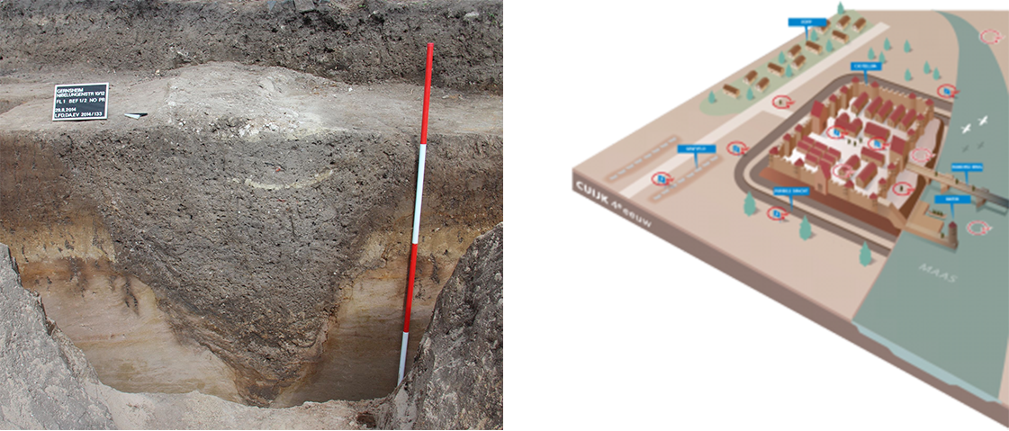
The v-shaped ditch enclosure is based on the documentation of the width and depth dimensions described by Panhuhysen (1996) for the sections of the ditch that were exposed by excavations in the 1980s and 90s. The general location of the hypothesised areas are based on the logical assumptions presented in the castellum’s site plan (Wetzel, 2017). Some images from other excavations of Roman ditch enclosures (e.g., Gernsheim in Germany) indirectly helped to inform the profile of the cut. The late Roman castrum at Cuyck presents a similar U-shaped enclosure situation as that at Maastricht.
N.B. Overall, the uncertainty for the reconstruction of the V-shaped ditch is estimated at Level 2 of the 7‑step scale presented by Apollonio et al. (2024). The excavations provide reliable evidence for the presence and character of the ditch for certain areas, while there is a certain degree of conjecture on the other areas.