|
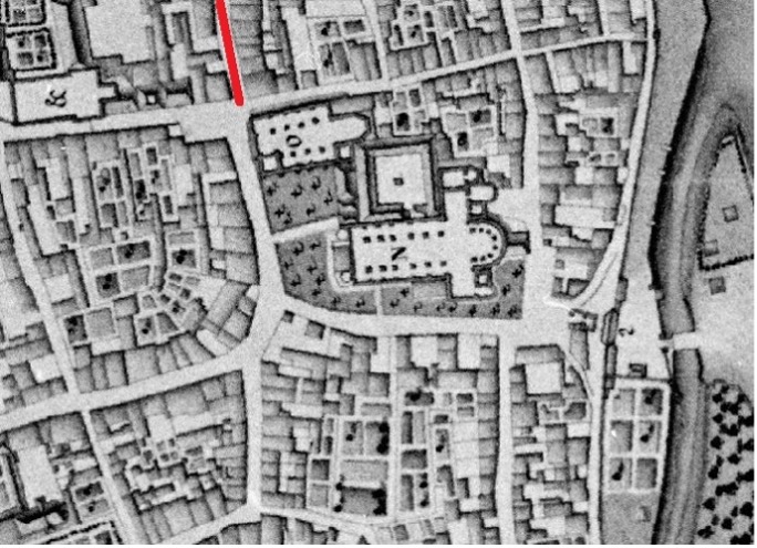
| Fig. 37: Location of the Wolfstraat |
This street marks the location of the old Roman road from the fourth century onwards, when the strip-like settlement of the first three centuries has been replaced by a small military camp, a castellum. The Roman road then ran through the city gate under the current Plankstraat and turned to the right (to the north) more or less underneath the current Wolfstraat. Whether this road has continuity between the fourth century and the Middle Ages is uncertain, but rather unlikely. The main route then ran west from the square, through the Bredestraat, to the Saint Servatius Church. The Wolfstraat is a corruption of the word 'Swoufstraat', a local variant of the Vicus Suevi, named after the alderman family Suevus, who lived there. Via Vicus Suevi, it became ‘Swoufstraat and later 's Woufstraat. Wouf is old Maastricht for wolf. In the fourteenth century, there was a house named ‘in den Wolf’, but it is possible that this house was named after the street and not the other way around.
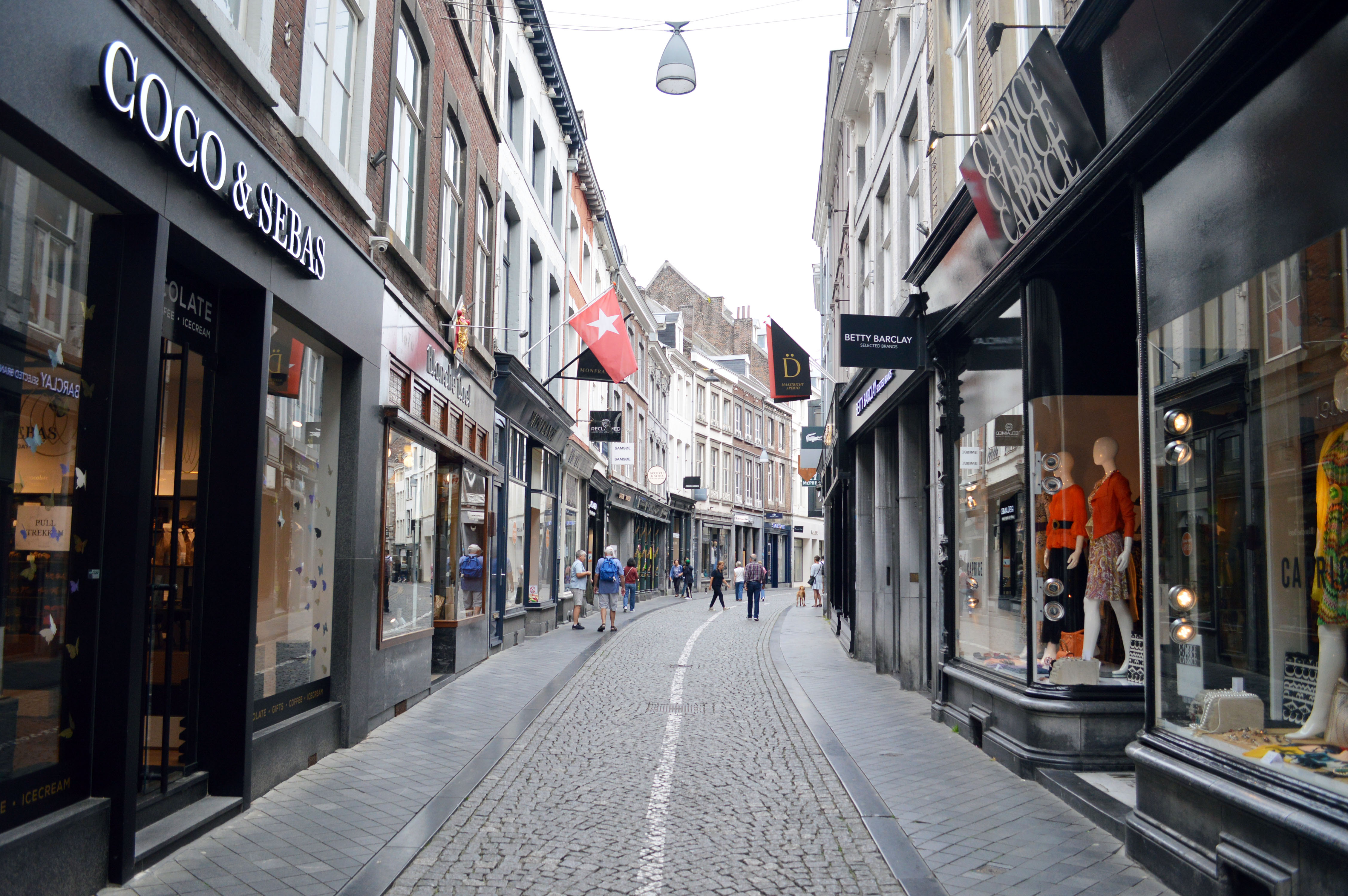 |
| Fig. 51: The Wolfstraat today. |
Reference:
Schaepkens van Riemst, J., “Eenige bijzonderheden omtrent straten, pleinen en bewoners van het oude Tricht”, in: Publications de la Société Historique et Archéologique dans le Limbourg, 43 (1907), 39-369; PSHAL 67 (1931), 187-232; PSHAL 68 (1932), 71-112; PSHAL 69 (1933), 63-86.